
Photograph, Map and Document Gallery
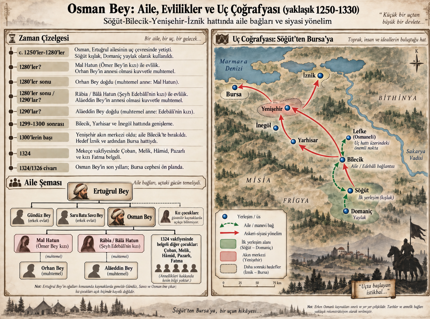
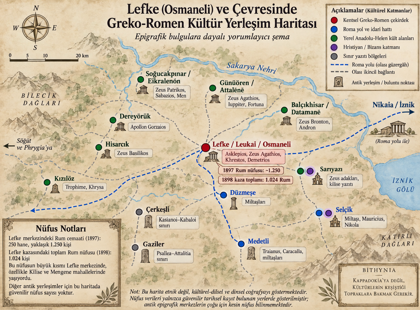
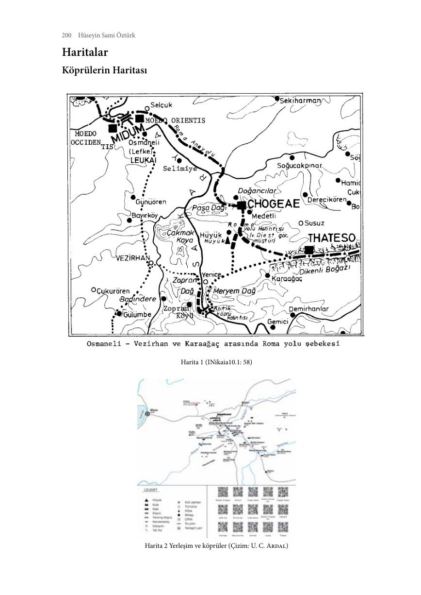
Some source maps, charts and plans retain Turkish labels; the captions are in English. Label key: harita = map; köy = village; merkez = town centre; yol = road; nehir = river; nüfus = population; göç = migration; yıl = year; kadın = female; erkek = male; eski = historical; güncel = present-day; compass K/D/G/B = N/E/S/W.
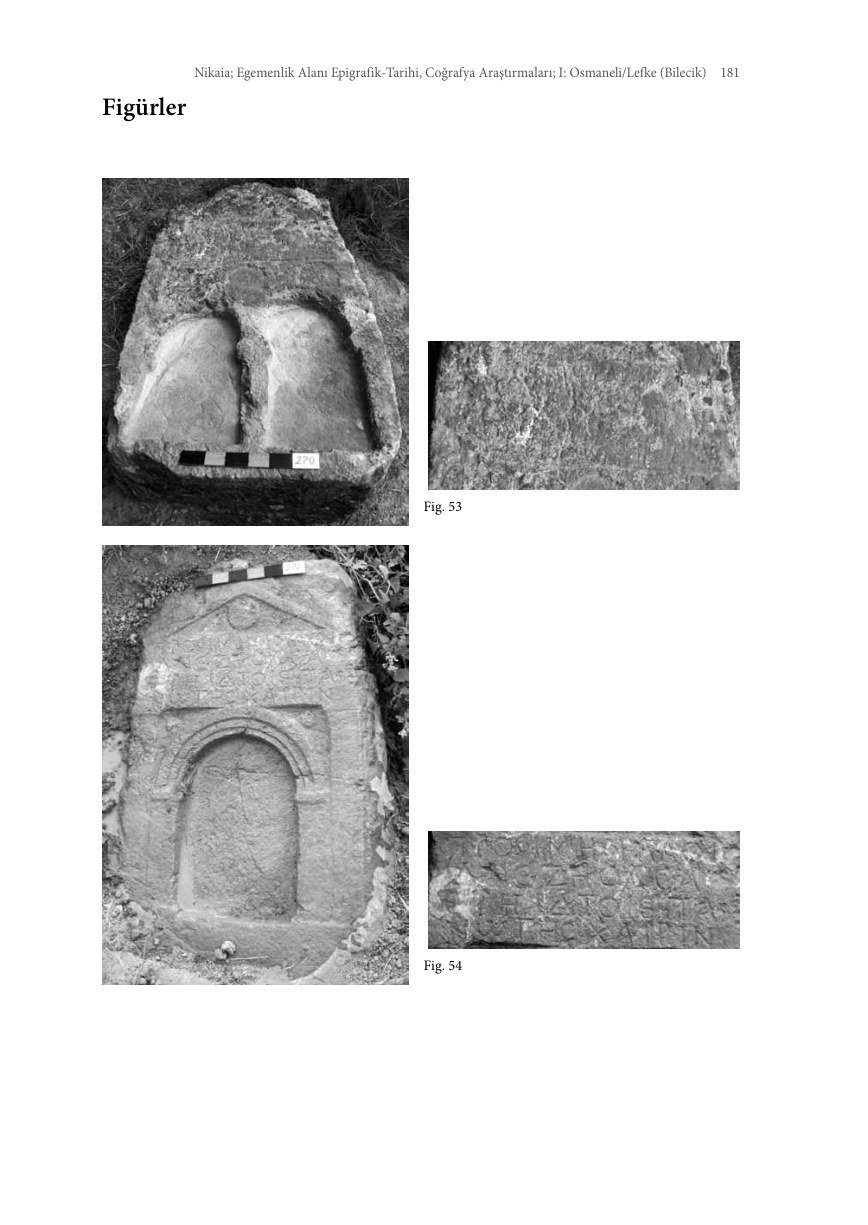
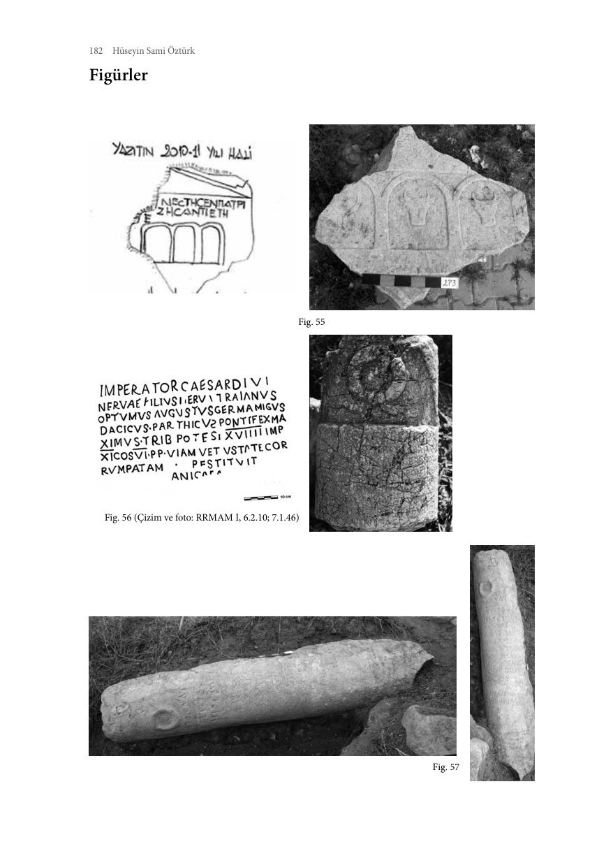
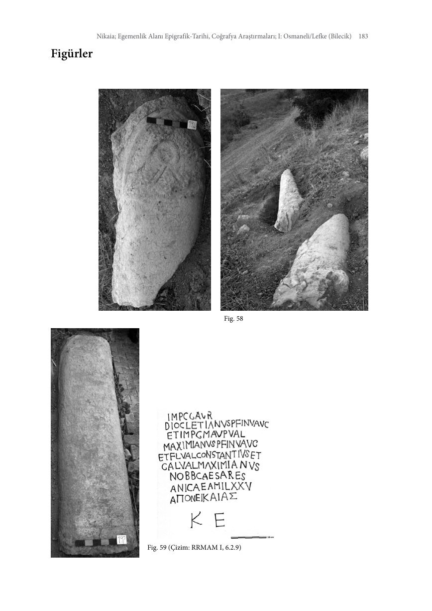
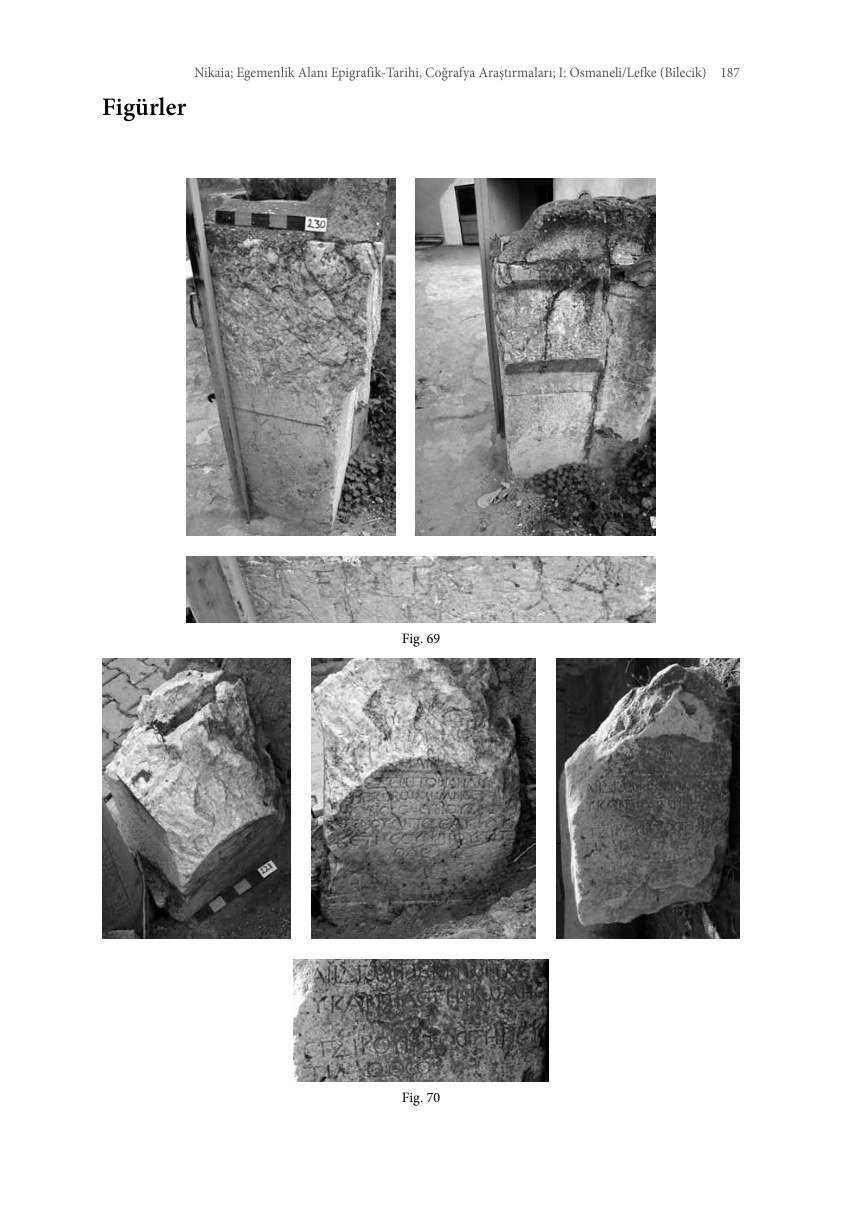
Gravestones and Inscriptions
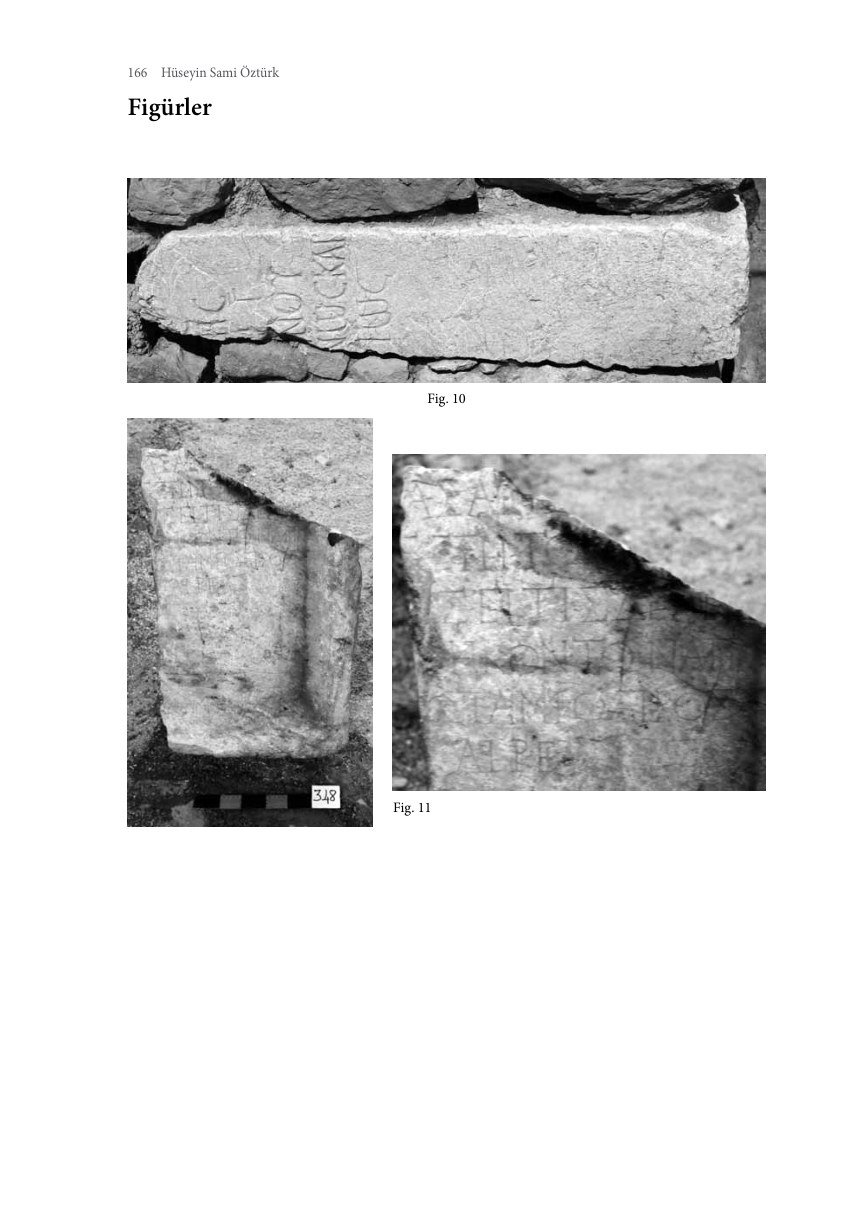
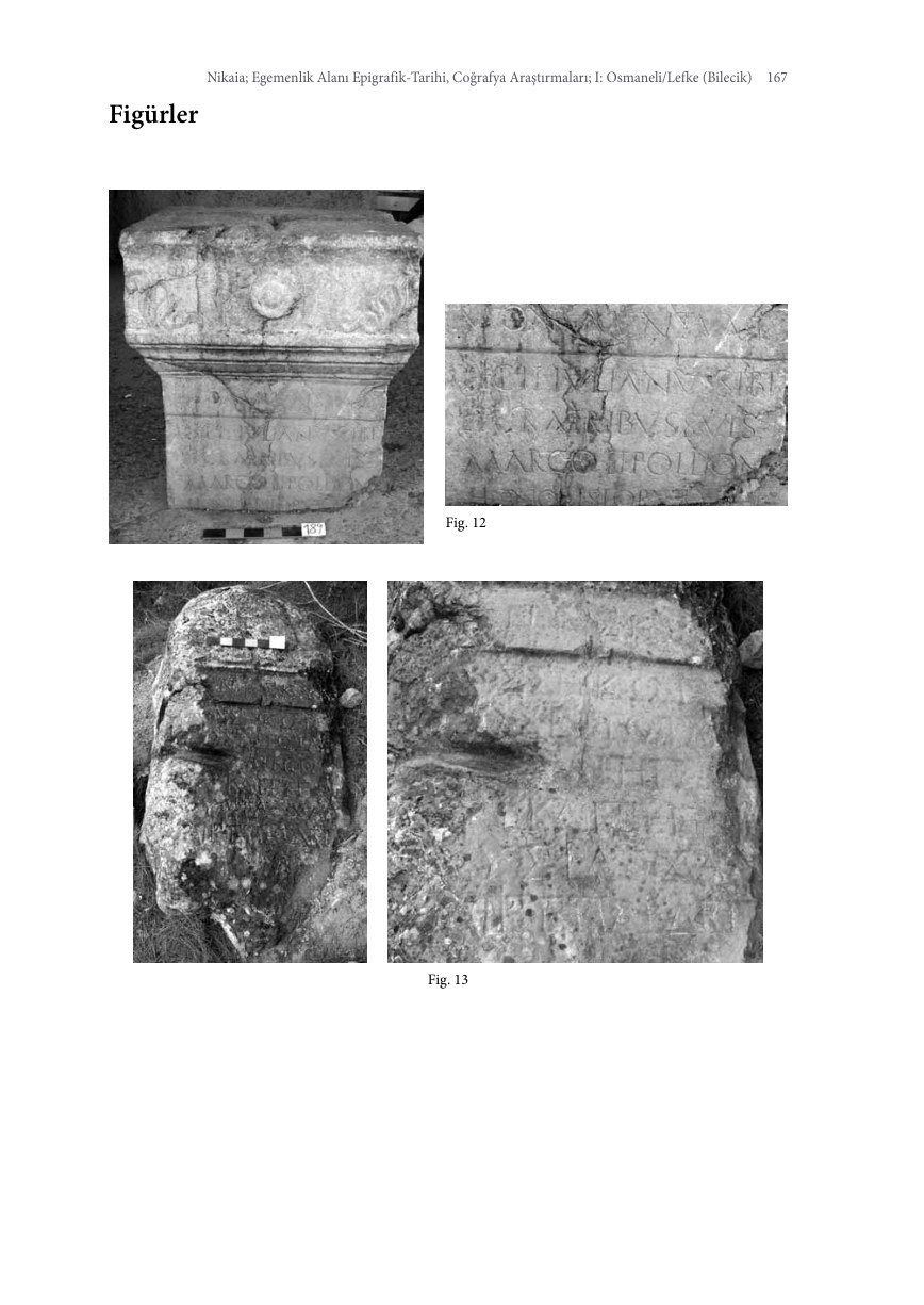
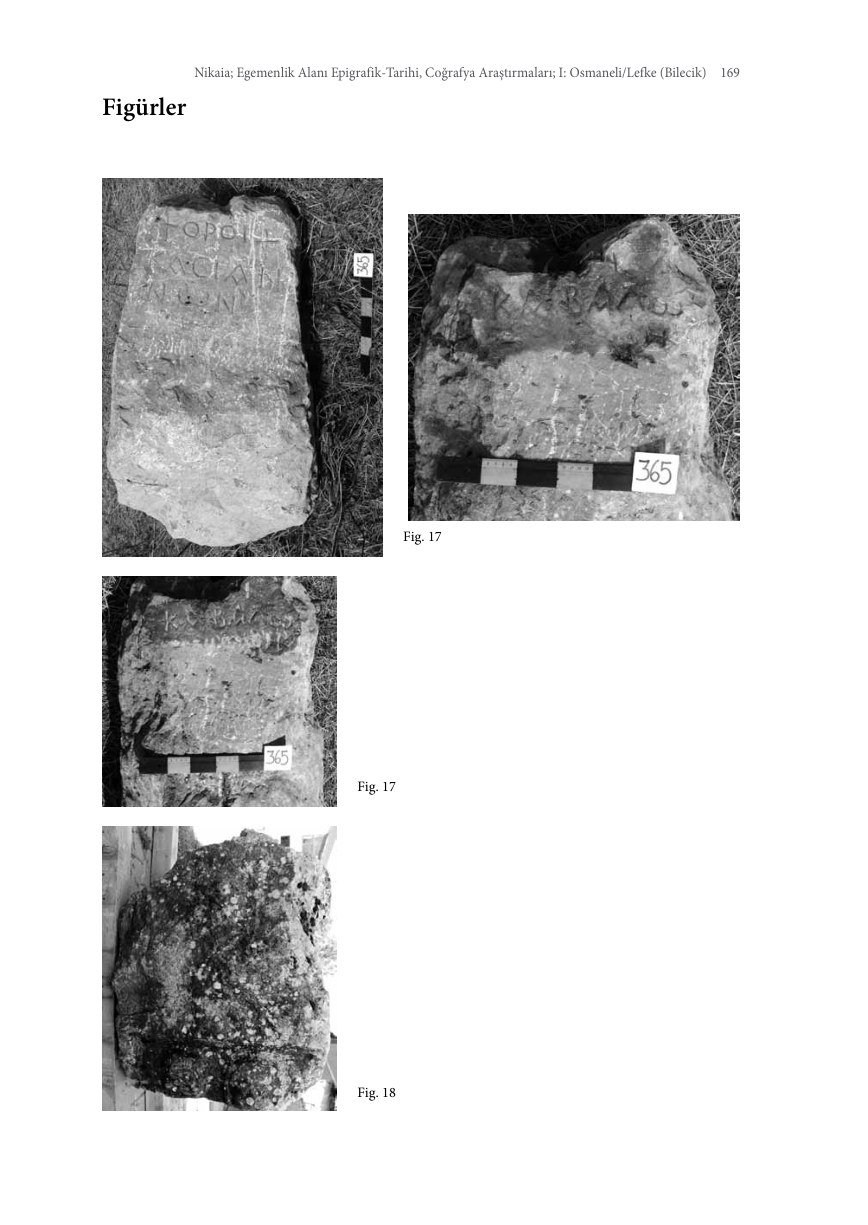
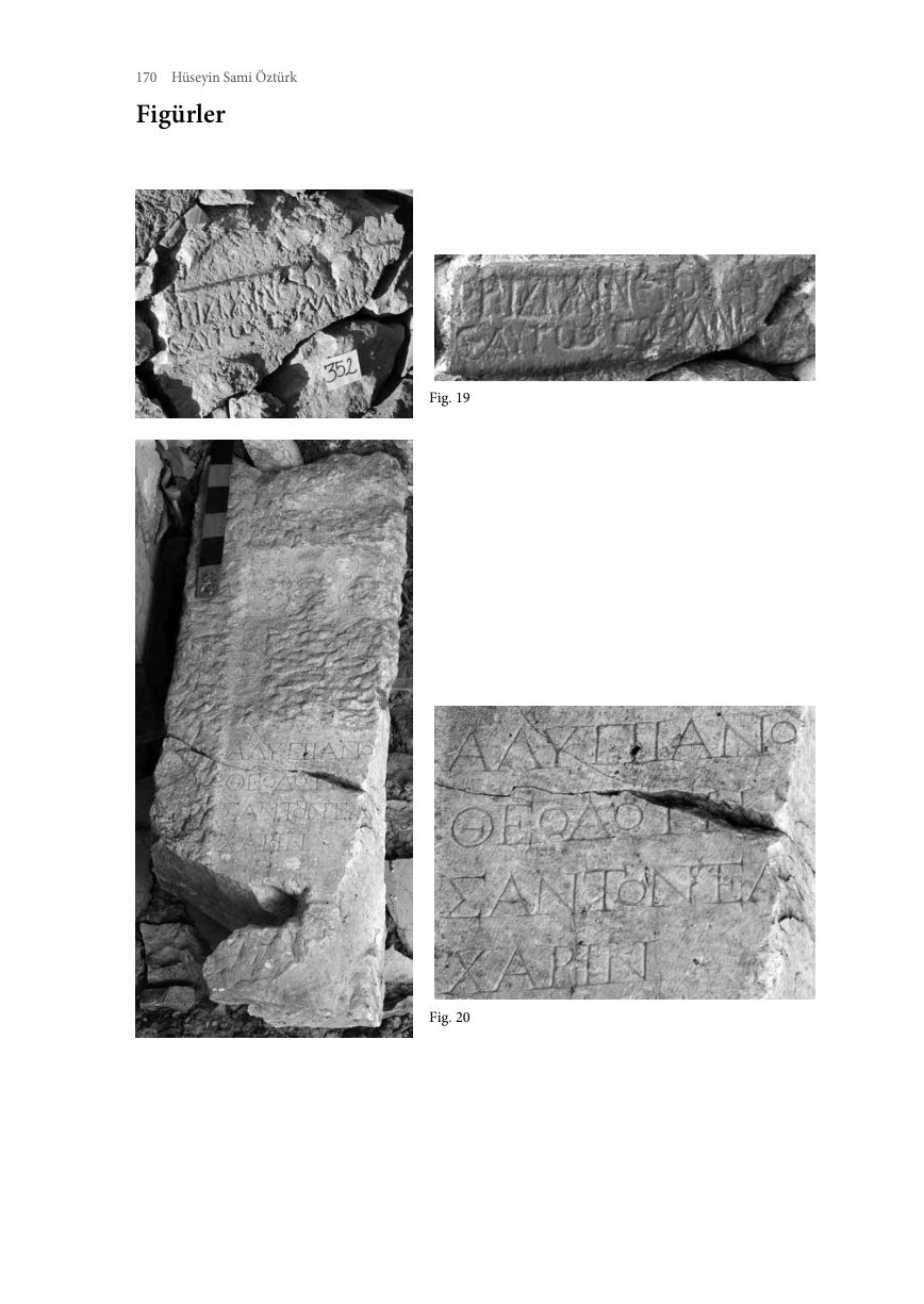
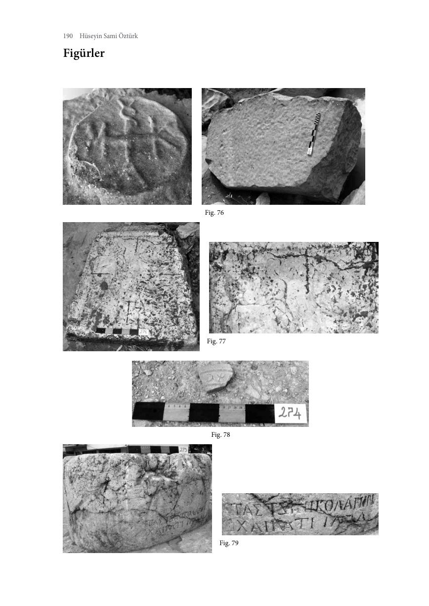
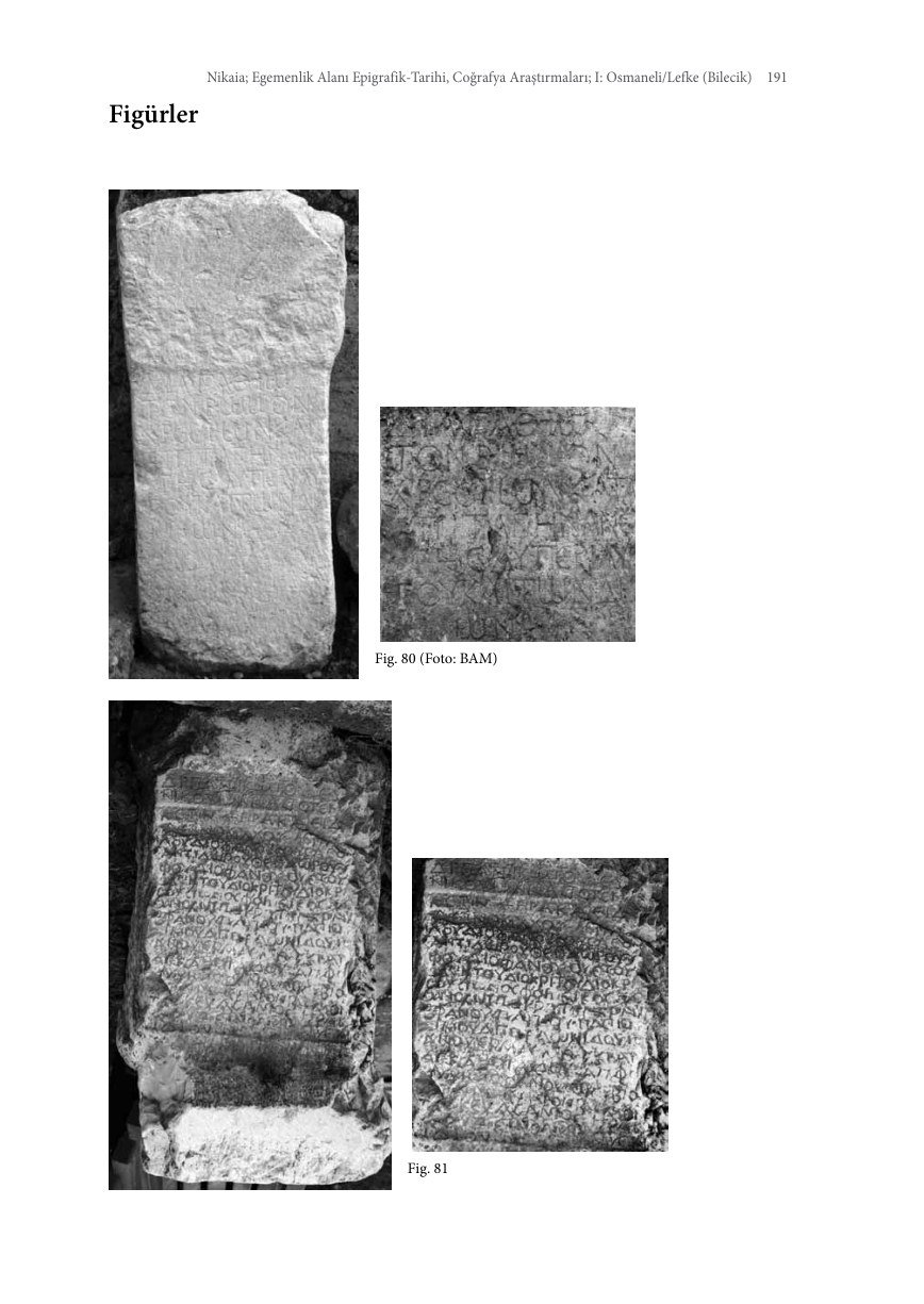
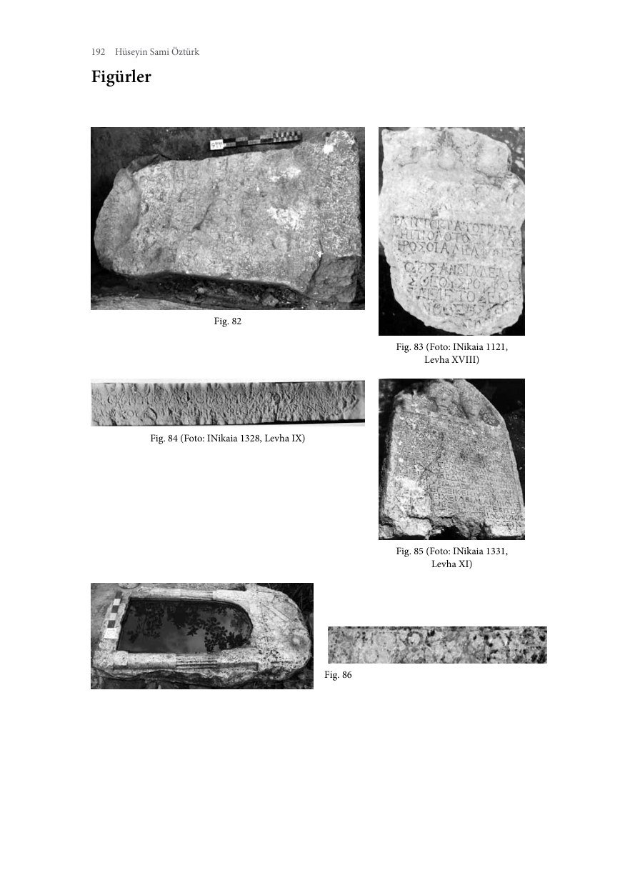
A section for inscriptions, gravestones and epigraphic material relating to the Greek Orthodox community.
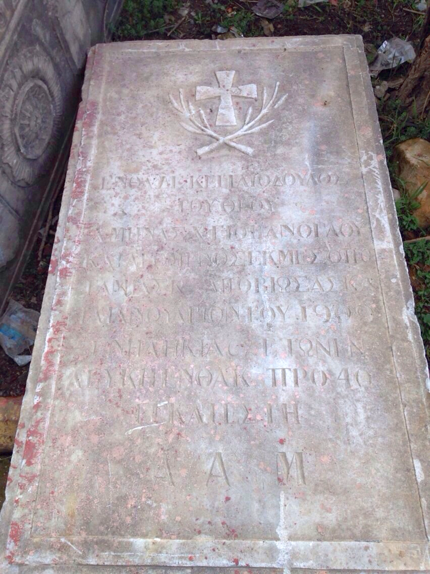

Additional Historic Osmaneli Images
The draft gallery will expand as new images become available.
Interpretive Church Visualisations
Interpretive Aya Yorgi visualisations were added as drafts to illustrate areas where photographs and documents are lacking.
People Archive
This section is reserved for families of Lefke origin, photographers and portraits awaiting identification.
Research Images
Historical Photographs of Rüstem Pasha Mosque
SALT Research, Ali Saim Ülgen Archive.
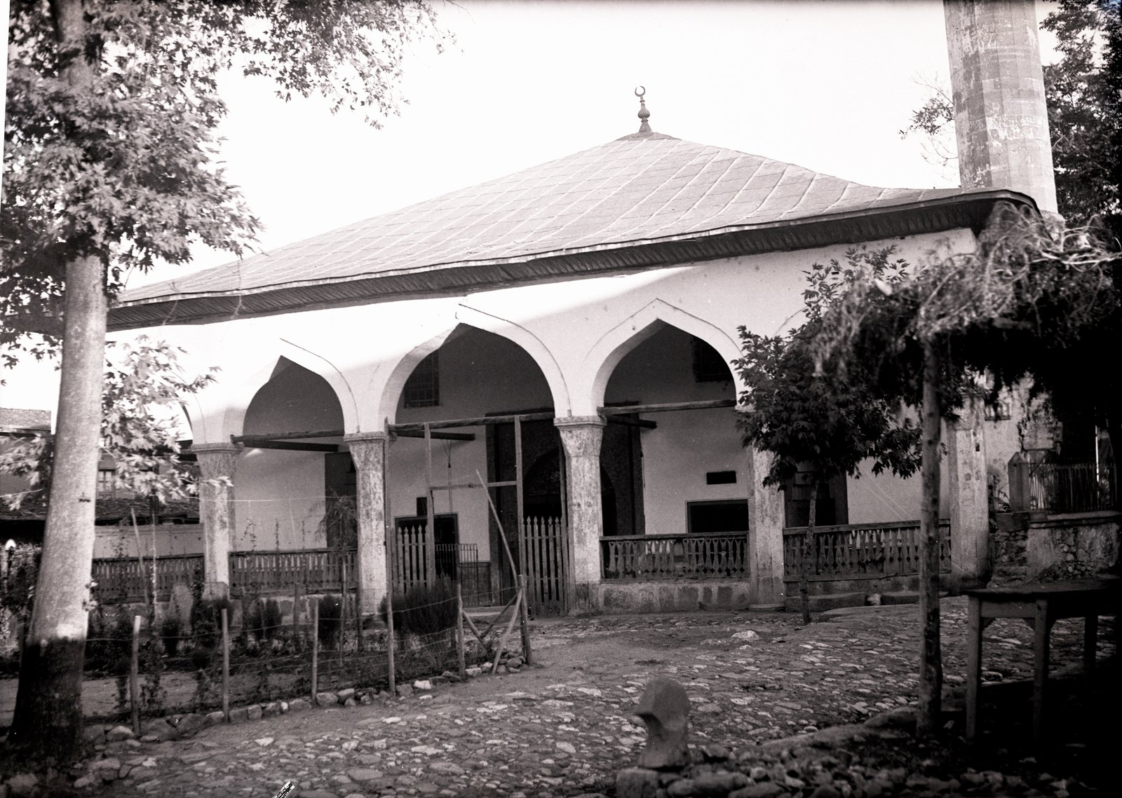
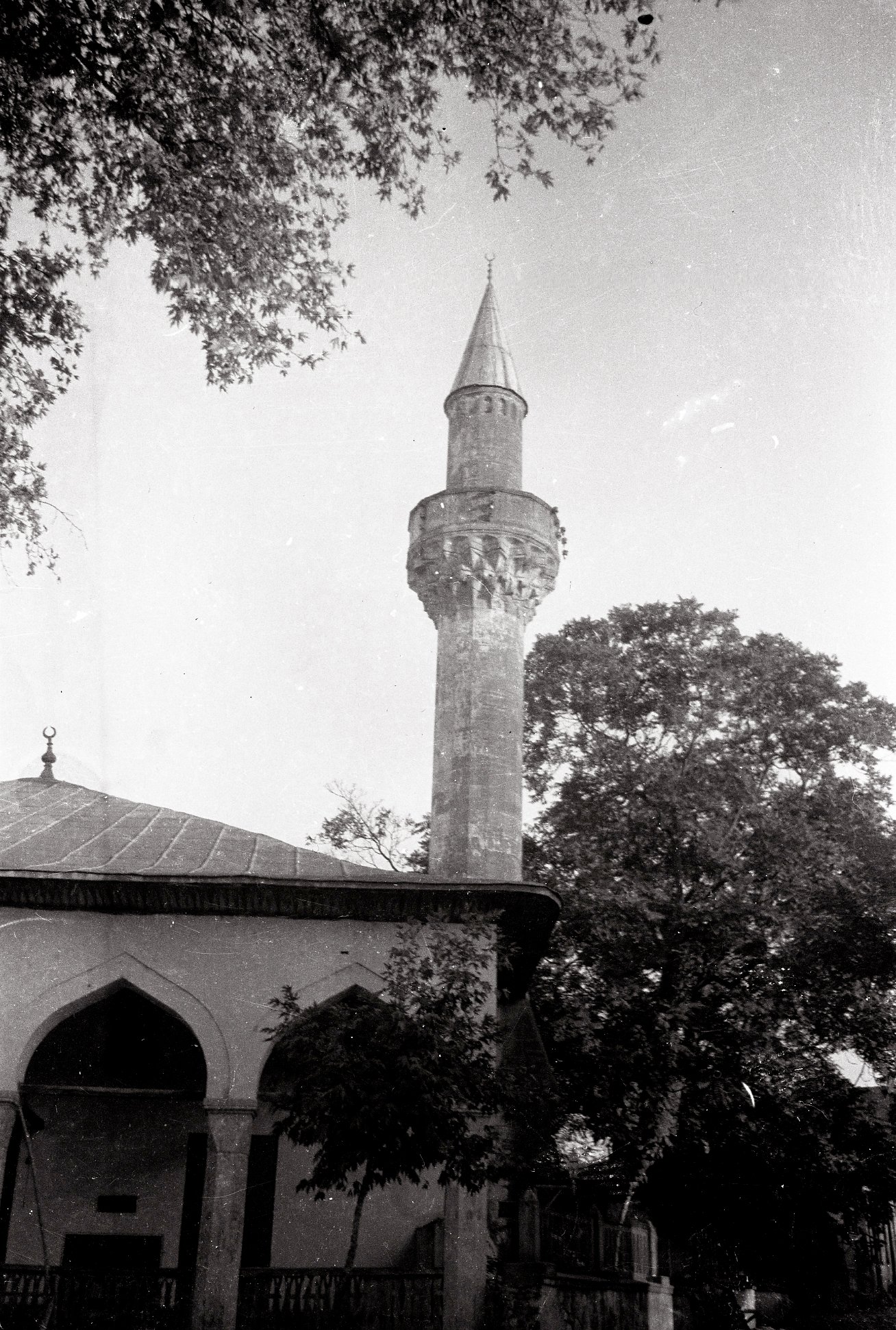
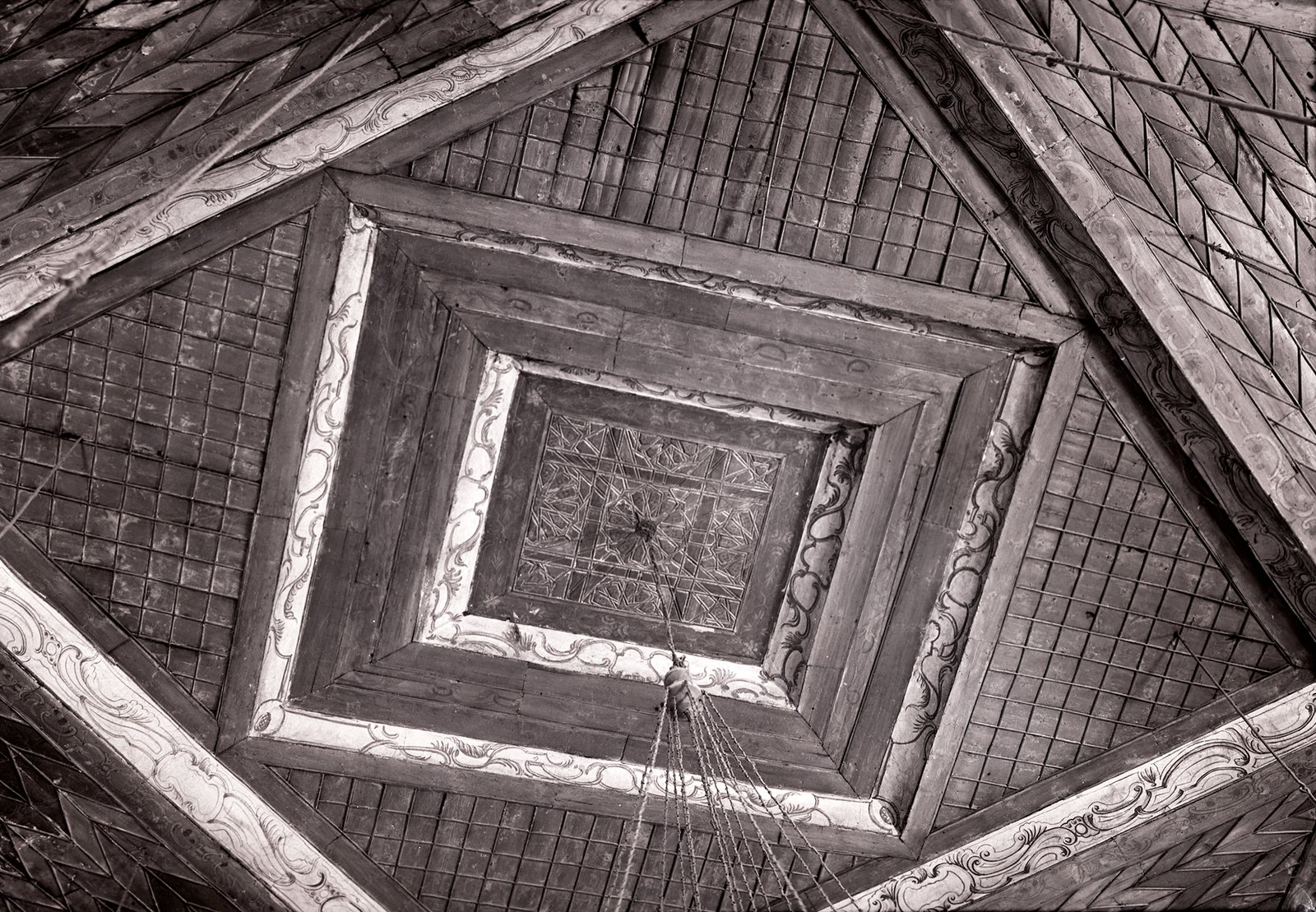
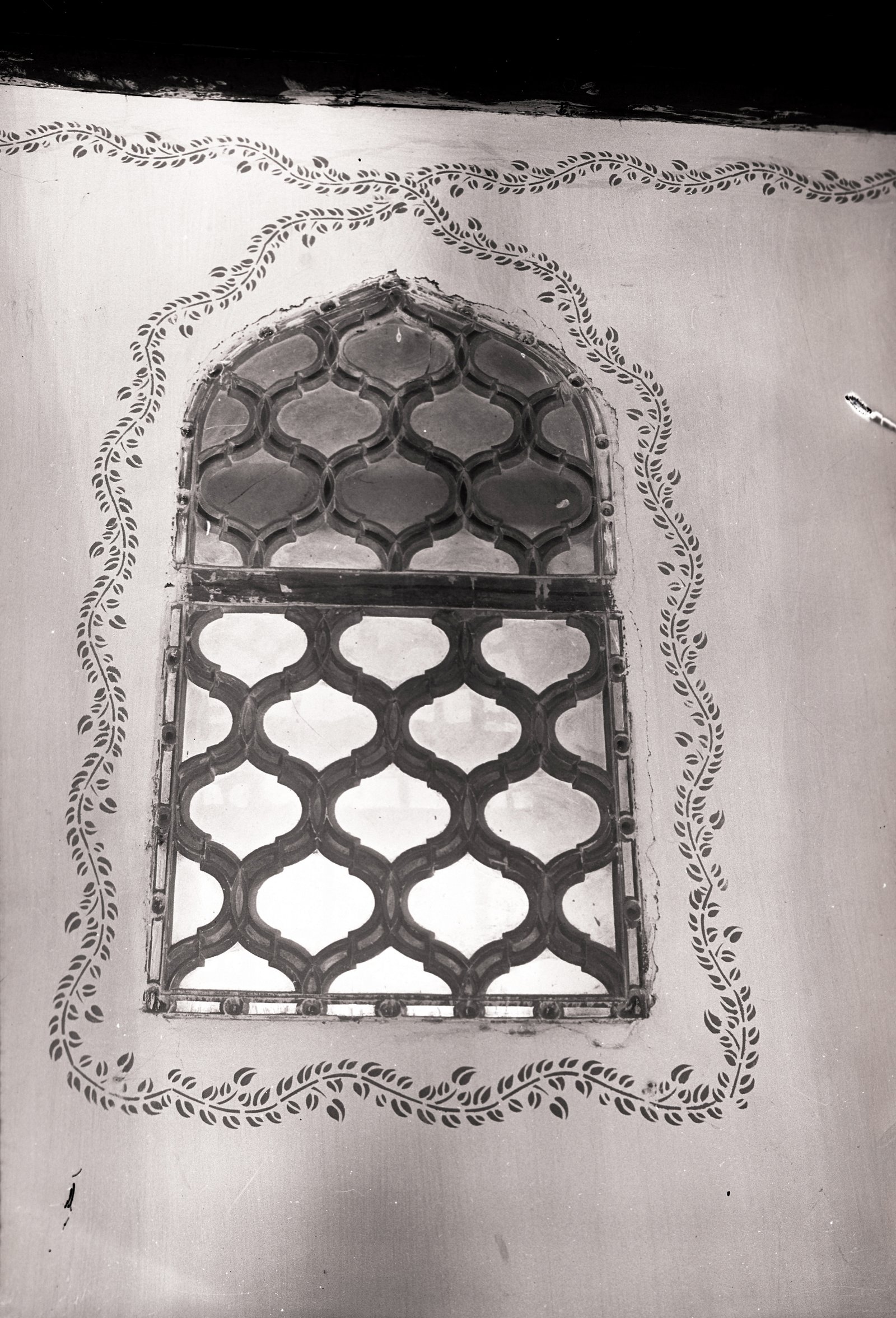
The images are provided for research access under CC BY-NC-ND 4.0; they should be used unchanged and with attribution.
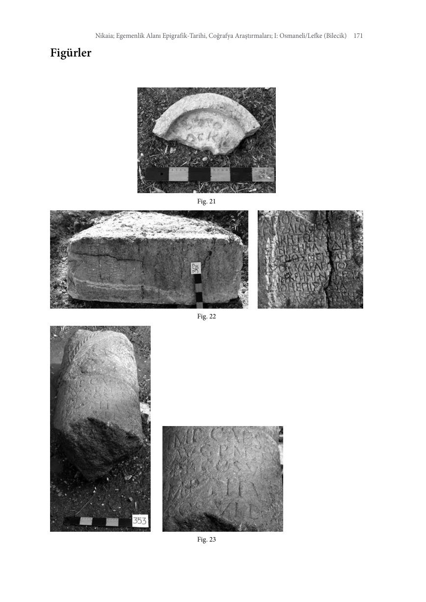
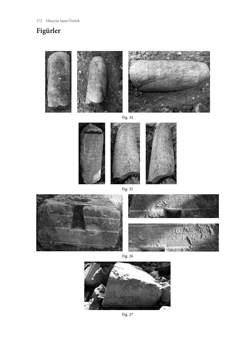
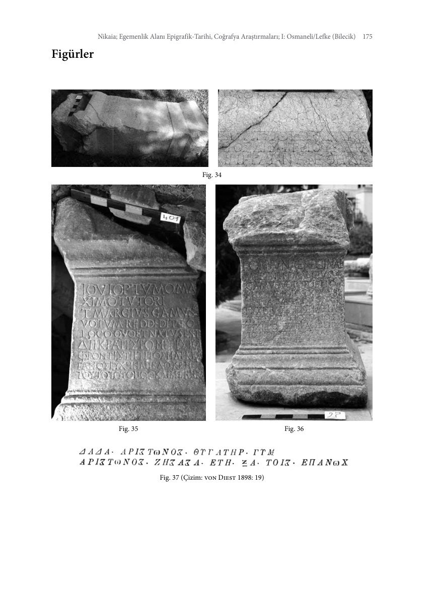
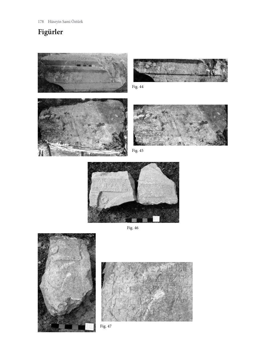
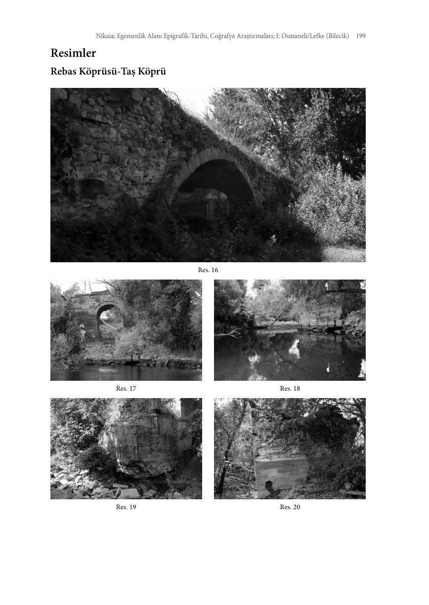
Visual Archive of the Nikaia / Osmaneli Book
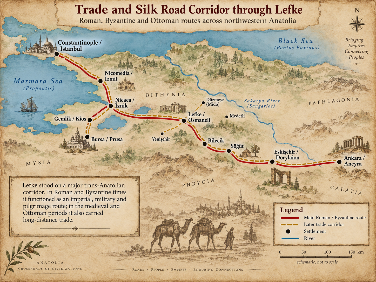
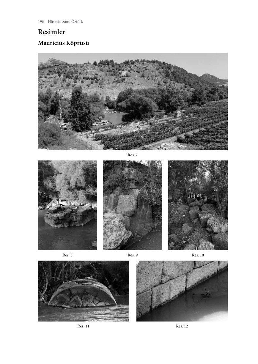
All figure plates, bridge and tower photographs, and map plates.
Image source: Hüseyin Sami Öztürk, Nikaia Egemenlik Alanı Epigrafik-Tarihi, Coğrafya Araştırmaları I: Osmaneli/Lefke (Bilecik) [Epigraphic and Historical-Geographical Studies of Nikaia’s Territory, I: Osmaneli/Lefke], 2021. The images were included in the research draft to show their relationship to the source. Reproduction permissions must be checked separately before public publication.

















Architectural Heritage: Historical Views, Plans and Today
Selected images from the 2024 architectural study.
United Photojournalists

Migration Maps and Charts
Visual Documents of the 1875 Fire
Aya Yorgi: Source Plans and Elevations
The architectural drawings reproduced from earlier studies in the 2026 article help explain the building’s layout. They are not images of a new HBIM model.


Contribute to the Research
If you have photographs, documents, gravestone records or family accounts relating to Lefke, please share them with us.
✉ Contact Form