
Research Maps
Some source maps, charts and plans retain Turkish labels; the captions are in English. Label key: harita = map; köy = village; merkez = town centre; yol = road; nehir = river; nüfus = population; göç = migration; yıl = year; kadın = female; erkek = male; eski = historical; güncel = present-day; compass K/D/G/B = N/E/S/W.
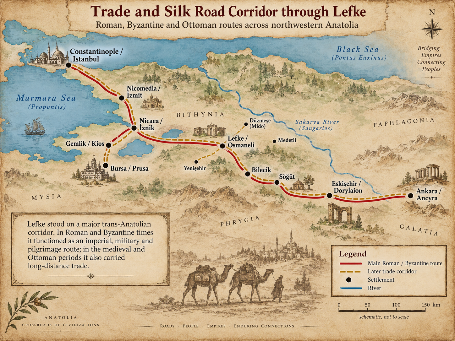
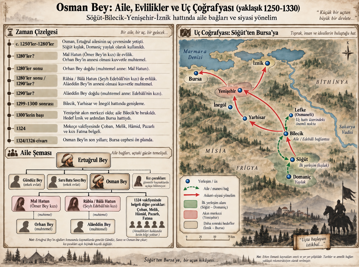

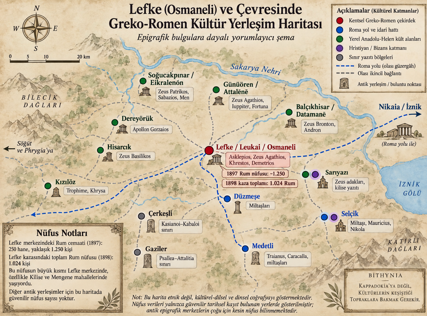
Spatial Hypotheses for Greek Orthodox Heritage
Aya Yorgi, the Priest’s House, the former cemetery and Greek Orthodox neighbourhoods should be considered within one urban fabric. The hypothesis locating the former Christian cemetery near Osmangazi Primary School / above the old slaughterhouse accords with oral history and a 2017 municipal statement, but awaits cadastral verification.
Lefke Castle: Proposed Locations and Limits of Evidence
Refik Arıkan and Mehmet Can Çetin’s 2025 study discusses Lefke Castle’s location using chronicles, previous research and field observations. Evliya Çelebi’s description of a small ruined castle and the sixteenth-century Hisar neighbourhood record are traces of a historical fortress, but do not alone establish its precise modern location. pp. 121–122.
The Selçik Proposal
Citing Öztürk’s 2022 publication, the article reports a proposed location within Selçik village boundaries on the Ankara–Istanbul road opposite the new bus terminal. This remains a location proposal reported by the study.
Tekke Hill and the Church Area
It also considers former mayor Münir Şahin’s account placing Hisar neighbourhood below Tekke Hill and around the church. A cistern recorded in the 2006 cultural inventory in the same area is a further research lead, not identification of the castle in itself.


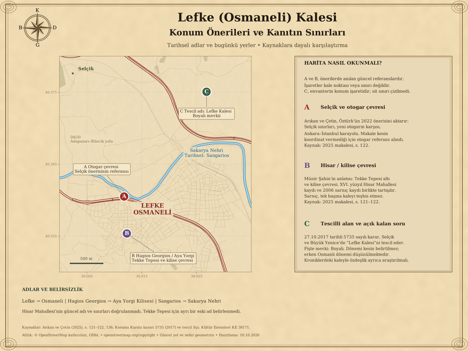
2017 heritage registration: Conservation Board decision no. 5735 of 27 October 2017 registered an area identified in Selçik and Büyük Yenice villages as a first-degree archaeological site under the name “Lefke Castle.” The attached registration form locates it at Boyalı, Selçik village; its period is not settled, with an early Ottoman date suggested. This record should be assessed alongside the 2025 article’s location debate. The map alone does not prove identity with the fortress in the chronicles. Board decision and registration form · Inventory location record.
How to Read the Map Figure 18 on p. 136 labels the area “probable.” Proposals must not be shown as excavation-confirmed points or boundaries. The accompanying map uses modern roads and the river as its base; markers A and B do not identify the castle’s exact position. The present name and boundaries of Hisar neighbourhood are unverified. Arıkan and Çetin, 2025, pp. 121–122 and 136.
Nearby Watchtowers
Cambazkaya
The study discusses the Cambazkaya watch area within Kızılöz village boundaries and reports a July 2024 field visit. It cites conservation decision no. 3164 of 29 April 2015. Osman Bey’s capture of the area in 1304 is an interpretation the authors describe as possible. pp. 122–123.
Göksu Towers
The Göksu towers within Çiftlik village boundaries are linked with the small stronghold at a river mouth granted to Samsa Çavuş in the chronicles. The authors’ name “Çavuş Castle” is a proposal based on this association, not an established original name. pp. 123–124.
Contribute to the Research
If you have photographs, documents, gravestone records or family accounts relating to Lefke, please share them with us.
✉ Contact Form